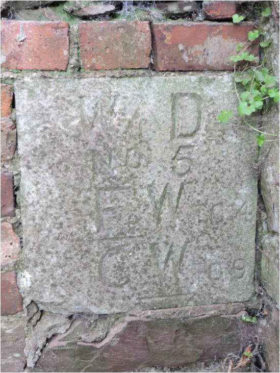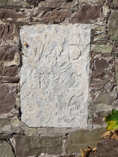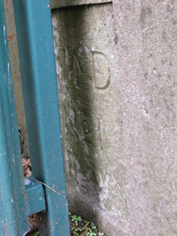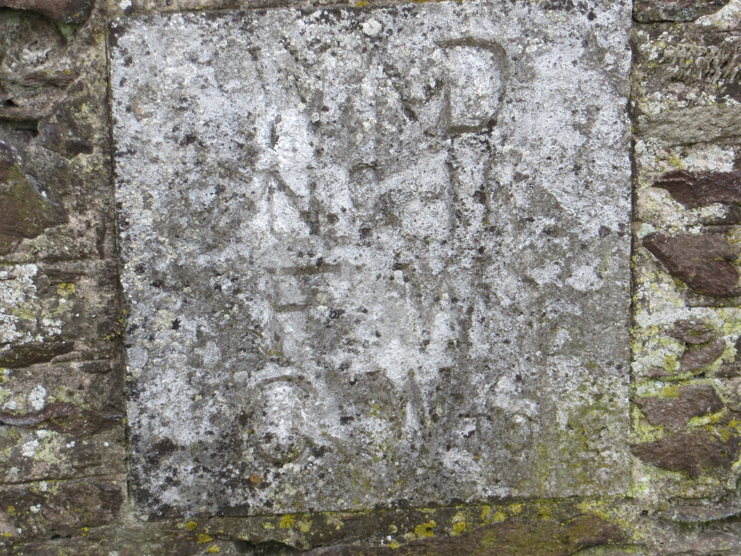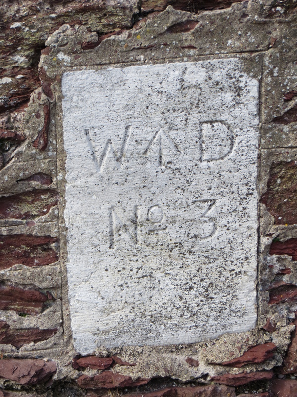
W ↑ D
No 5
←F W TO 4
C W TO 9→
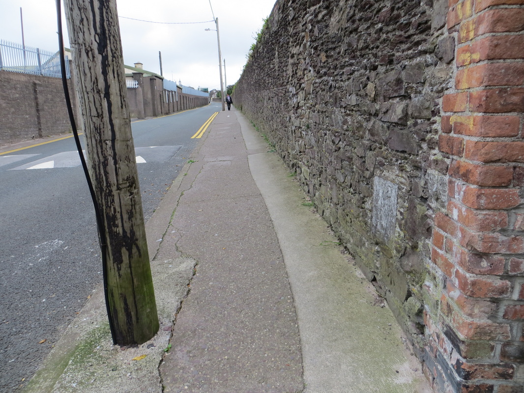
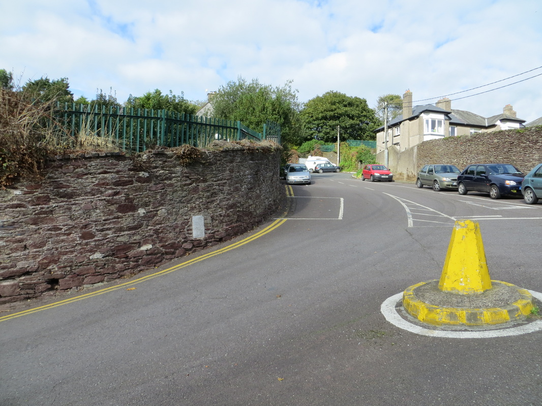
The oracle that is Tom Spalding has suggested that WD would stand for War Department which is consistent with the wall being boundary of the
old Victoria Barracks .
Any suggestions for FW and CW would be very welcome.
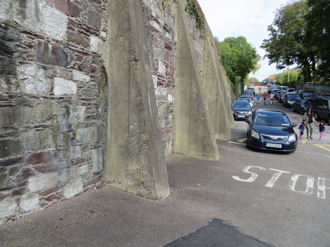
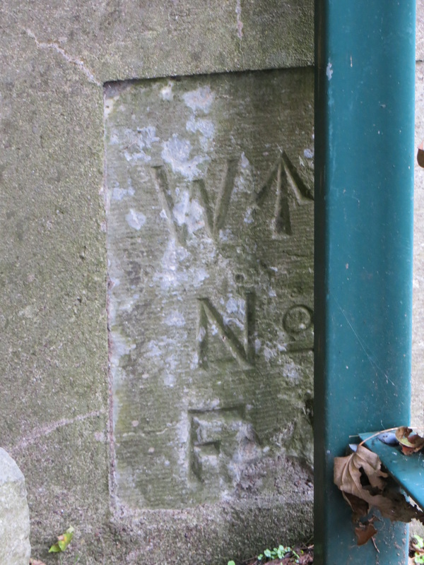
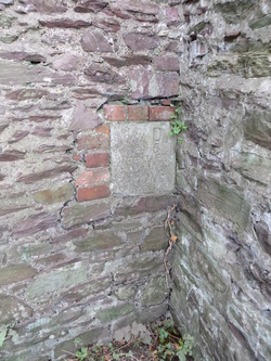
Since then I have spotted three similar engraved limestone inserts on the wall by Christian Brothers College and one on Old Youghal Road onto the Camp Field.
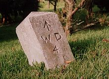 Photograph from Wikipedia
 I should have done some more web searching before uploading the blog yesterday.
This morning I came across the UK Ordnance Survey website, where they list abbreviations regularly used in O.S. Maps. These include:
C W – Centre of Wall
F W – Front of Wall
So my interpretation is that the army lands extends to the front of the wall from Marker Point 4 to 5 and to the centre of the (party) wall from Marker Point 5 to 9 – but am open to correction.
Wikipedia has an image of the WD with a ‘broad arrow’ delineating military property boundary in Bermuda.
Further information on the broad arrow is available. Also, the WD sign was
adopted in or around 1856 to about 1895 which creates another riddle as The
Barracks was erected in 1801 to 1806 and extended in 1849 and renamed Victoria Barracks.
