Is this really gold-standard communication – I think not….
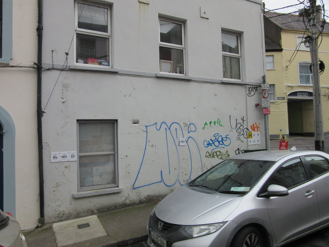
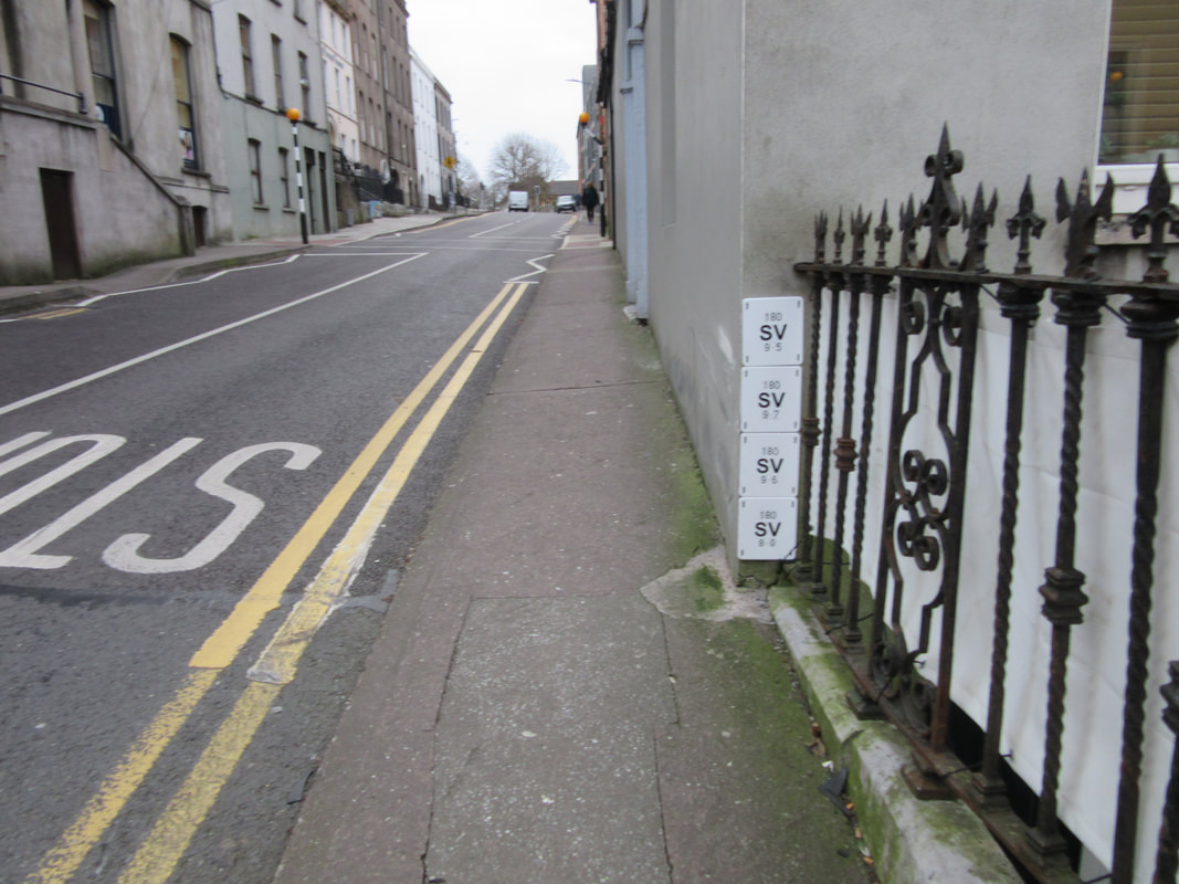
| In the last few months, I have spotted these white plaques having been fixed to buildings. As you can see from the photographs, many buildings have multiple plaques identifying the diameter and distance of water pipes– one building on Devonshire Street has nine new white plaques to go with the one yellow Fire Hydrant locator. With current technology, are these multiple messages absolutely necessary or are they an assault on our senses, a disregard for the public realm, a novel form graffiti? I think the latter. | 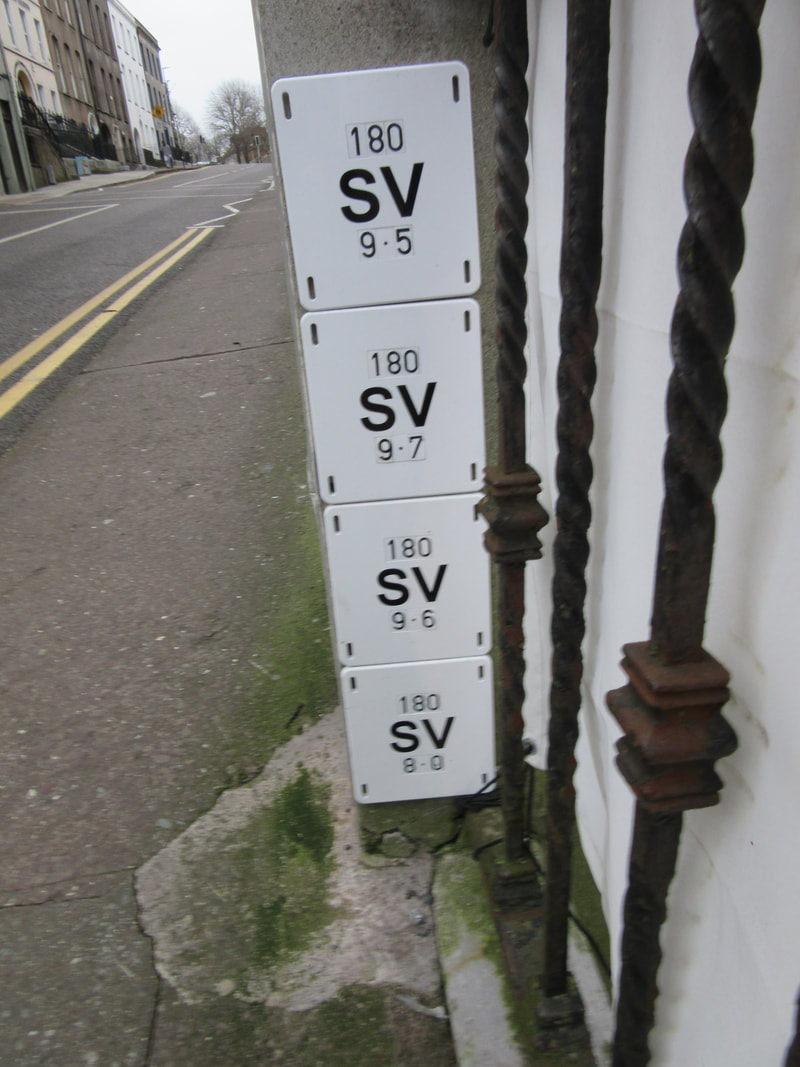 Wellington Road - Cork |
 Wellington Road - Cork | 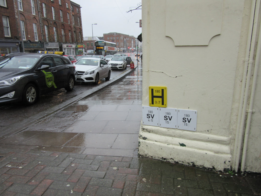 Coburg St - Cork |
I do report water leaks whenever I see them. I suspect that I must be one of the highest reporters of leaks to Irish Water. I am well familiar with the means of reporting – after getting through a number of press-X-for selecting options, and having been forced to listen to updates about issues of repair/shortage, one gets to talk to someone.
I then have to describe the location, whether the leak is in road or footpath, to where is the water discharging and whether it is a trickle, or the more likely, gushing variety. After leaving my telephone number, I need to listen to the standard spiel as to what Irish Water does with my data.
Suffice to say it is not a quick and easy process to assist in reducing the waste of public funds. It does not encourage one to repeat the process.
Alternatives – Lighting Comparison
 Pine Street - Cork
 Many Local Authorities utilise an online map that allows anyone to register a faulty public light – all one needs is to be able to identify the location on a map.
Cork City Council did use this system upto recently but have departed to a system that requires one to know the unique number on the pole. This new system by Cork City Council is a less-public-friendly system as those driving-by at night noticing a non-functioning light could easily identify it on a map but, with the light not working, may not see the unique number on the pole.
On an assumption that the inventory/manifest/asset-register of Irish Water is reasonably complete, use of the online map to report leaks and blocked road gullies would be a simple process for public participation.
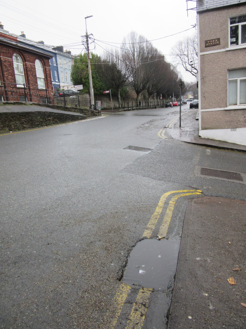
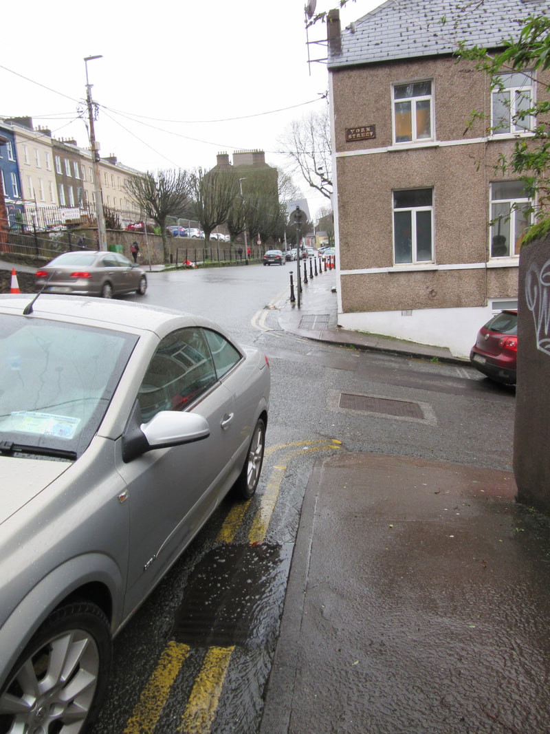
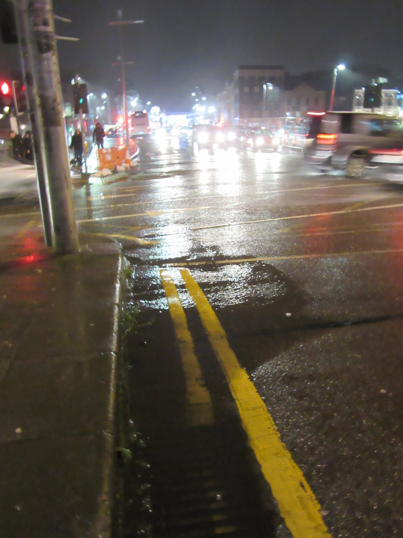
Blocked Gullies – Who Cares
 Wellington Road 2018.03.04 | 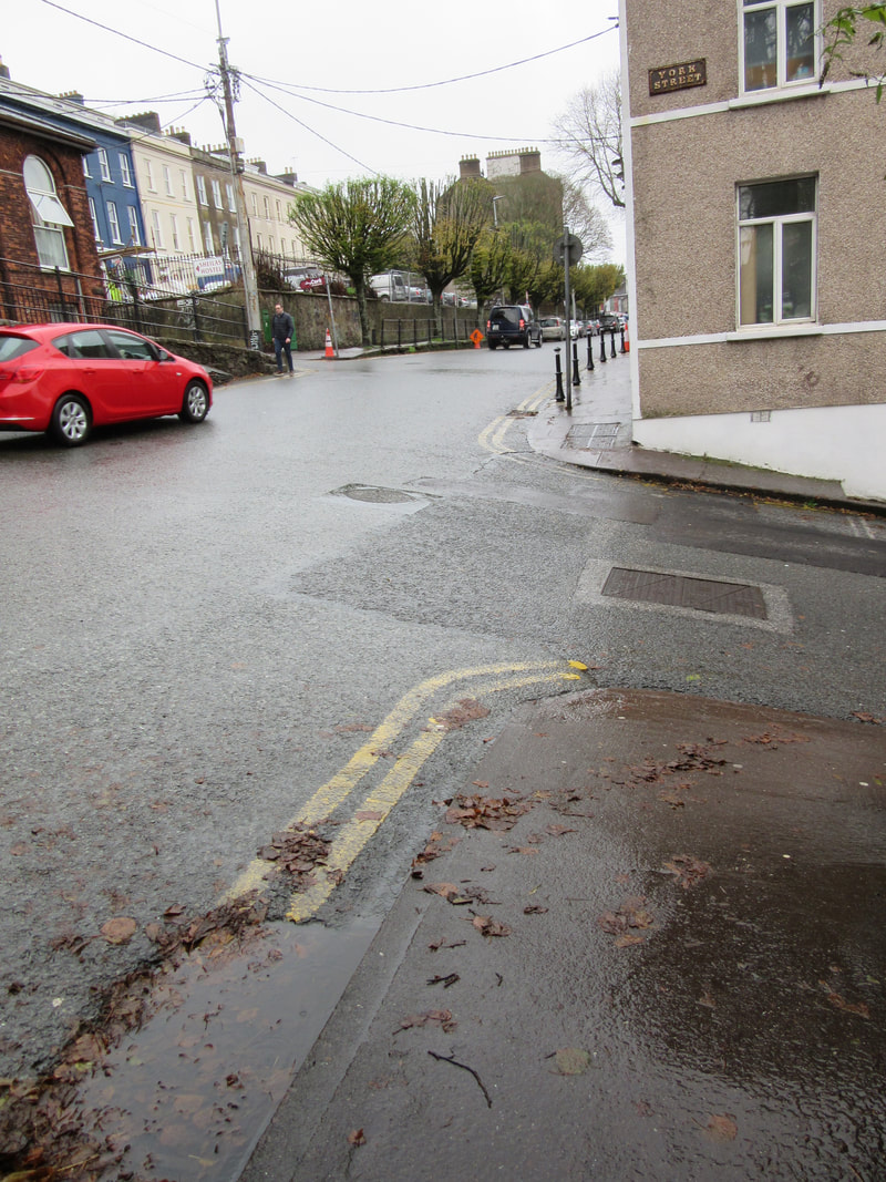 Wellington Road 2019.11.21 |
 Wellington Road 2020.02.15
 It is accepted that some councils, being aware that water services were to be handed over to Irish Water, did not invest in upgrade and maintenance in the years leading upto the formation of Irish Water. This resulted in Irish Water having significant inheritance issues at commencement.
It appears that Irish Water is now getting its revenge on the Councils.
Irish Water are obliged to maintain and upkeep the road gullies and the drains but is not responsible for the erosion damage caused by excess surface water when drains are blocked. The responsibility for the damaged road surfaces rests with the councils – the same councils who may not have handed over pristine and fully operational equipment to Irish Water.
The photographs show only a very small selection of drains that were or have been blocked for a very long time.
With even a partial asset register of gullies, creating an interactive reporting system would be relatively simple process and would have benefit of encouraging public participation and appreciation. It would also benefit Irish Water in arranging the logistics of clearing blocked gullies as staff could be sent to only gullies that are blocked – not necessarily all gullies in an area.
 Bridge St 2018.12.14 | 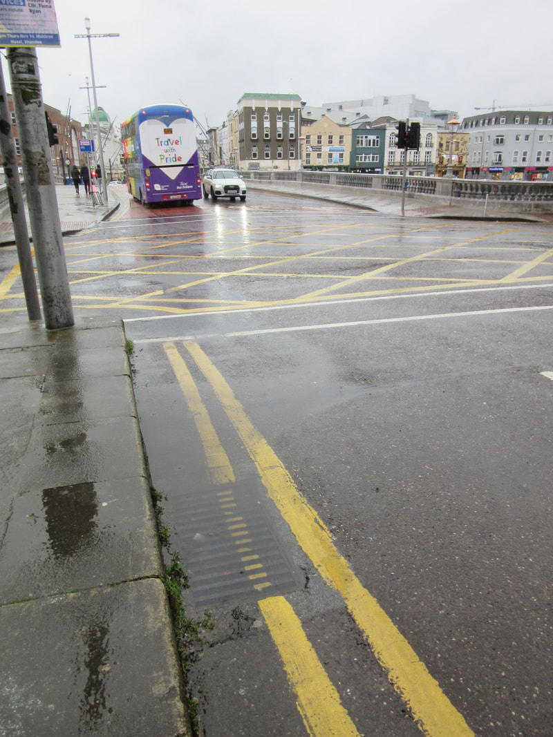 Bridge St - 2019.11.19 |
I have so many other examples of blocked gullies around Cork – so many.
QR Codes
 Blarney Street - Cork |  Blarney Street - Cork |
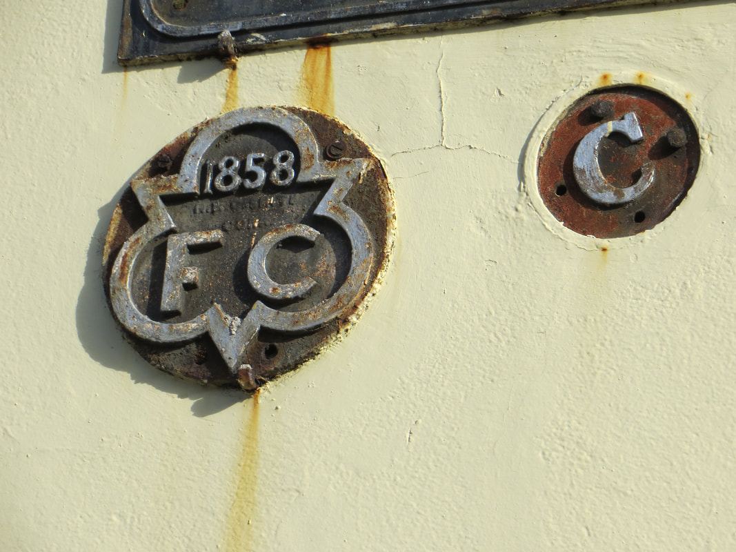 Old Blackrock Road - Cork 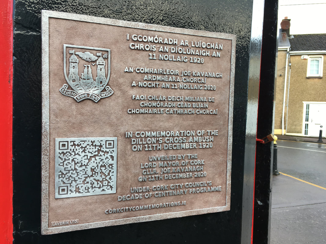 Dillons Cross - Cork 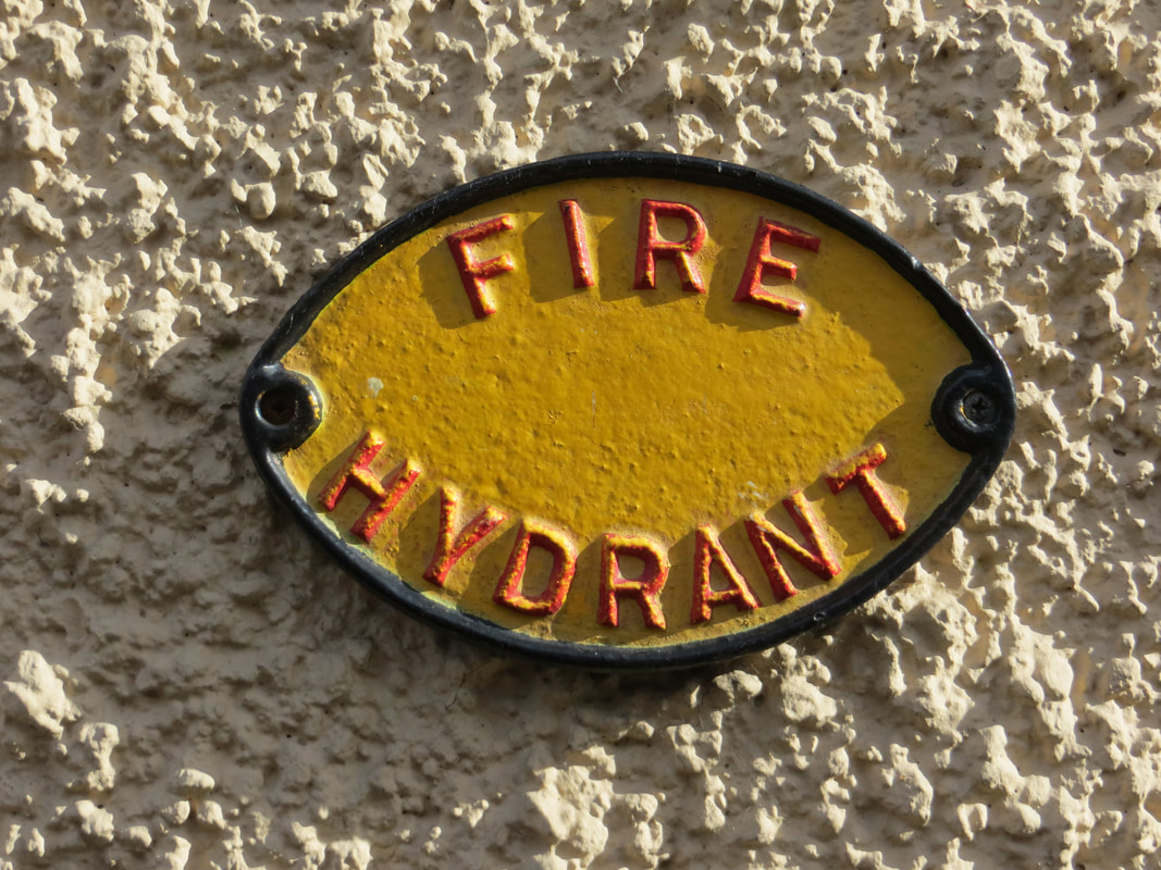 Upper John St - Cork | Cork City Council’s recent memorial plaques include QR codes where the passer-by can scan with a smartphone and then read about the incident or person commemorated. It is not stretching technology too much to suggest that the nine new white plaques on the one building on Devonshire St could be replaced by one QR code plaque allowing any contractor immediate access to the location of the underground services. The QR codes could even link to more information than is available on the white plaques – accurate depths; exact co-ordinates; images from previous excavations. The public would benefit by their views of buildings not being blighted by a plethora of such signs. The fire hydrant signs are accepted as providing immediate information to the rescue services and are recognised as an essential services but the white plaques do not appear in anyway to be in the same essential category. I do like the old Fire Hydrant and Fire Cock signs around Cork which do tell a tale of the history of essential service but they also show that when such plaques as these new white ones are installed, they tend not to be removed even when no longer in use, having been replaced by something new. |
Online Recording – Less Intrusive than QR Codes
| The National Biodiversity Data Centre encourages the public to submit records of flora and fauna. Once the co-ordinates are know, which are available on any smartphone, the member of the public can upload photographs and notes as to what has been observed. Apps such as Input allow immediate interaction from exact co-ordinate position – such position is available on any smart device. | 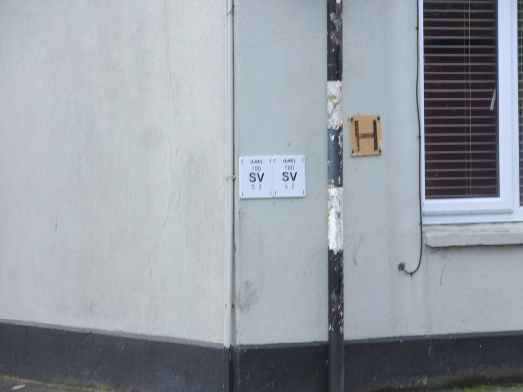 Pine Street - Cork |
It does not appear a technological advancement of any significance to:
Such a system would avoid the need for each and every white plaque erected and proposed to be erected.
I fully realise that complaints and criticism without alternatives may be not the most welcome of correspondence. I do hope that the constructive criticism with alternatives can lead to an improvement of systems but more importantly, to me anyway, a less unsightly public realm.
- Have the survey information of all water pipes, drains and gullies on a server
- Allow staff and authorised users to log-in with the co-ordinates from their smart device and immediately see the survey information – as well as photographs and notes as to recent work
Such a system would avoid the need for each and every white plaque erected and proposed to be erected.
I fully realise that complaints and criticism without alternatives may be not the most welcome of correspondence. I do hope that the constructive criticism with alternatives can lead to an improvement of systems but more importantly, to me anyway, a less unsightly public realm.
Do we really need 10 plaques on one short building?